New Technical Memo Presents Interesting Results
|
Human Systems Study on the Use of Meteorology and Oceanography Information in Support of the Naval Air Strike Mission
|
|
APL-UW TM 8-02, November 2002
D.W. Jones, J. Ballas, R.T. Miyamoto, T. Tsui, G. Trafton, and S. Kirschenbaum
This report is a study of the meteorology and oceanography (METOC) human systems of the U.S. Navy and the role they play providing critical weather information to naval air strike decision makers. The methods used and observations made occurred during four experiments:
1) Naval Pacific Meteorology and Oceanography Facility (NPMOF), San Diego, 1999 ( >>> )
2) Naval Pacific Meteorology and Oceanography Center (NPMOC), San Diego, 2000 ( >>> )
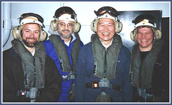
3) USS Carl Vinson, in port at Bremerton, WA, July 2000 ( >>> )
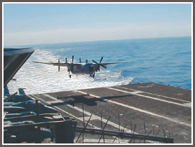
4) High-tempo carrier operations, USS Carl Vinson, February 2001 ( >>> )
Results
|
|
These experiments provided data suggesting that forecasters develop a qualitative mental model of the synoptic weather and then use that model to extract quantitative information (Trafton et al., 2000). Also, the recent introduction of mesoscale atmospheric models has complicated the creation of the qualitative model due to forecasters' lack of experience forecasting mesoscale weather.
The key questions that motivated these experiments were:
|
|
- Should the numerical weather prediction (NWP) model output be used directly by the forecasters or the end users? Forecasters today observe and assimilate the large-scale weather conditions, and build a mental model. When they produce a specific forecast (e.g., target weather for the strike), they tend to draw the specifics out of their mental model, instead of drawing directly from the model output. If end users are allowed to use the NWP output directly, will it be useful? Will specific information (e.g., winds at 10,000 ft at x, y, z, and t location) help the human forecasters produce specific forecasts?
- Can humans develop better capabilities to forecast atmospheric conditions using high resolution models to determine cause and effect? What is the value added capability for a high-resolution model? How do the forecasters actually interact with the mesoscale model information? What do the strike war fighters actually need?
- What are the implications for advanced visualizations in terms of using the mesoscale models and in terms of increasing the understanding of mesoscale meteorological conditions? How do forecasters gather detailed information for the strike area where they do not have a mental model? Can we develop an inner-working information model to produce specific information for the forecasters so they can produce a better product for the war fighters? Will an automated process for information extraction and presentation be useful?
- Is there any value to providing more "feedback" into the system to both evaluate the accuracy of the forecaster and the value of the METOC information to the war fighter's mission success? Currently, there is little feedback from war fighters concerning the METOC conditions over the air strike area, or little evaluation of the forecaster's ability to support the air strike with tools such as the Infrared Target Simulation System (IRTSS).
|